АВТОМАТИЗИРОВАННОЕ РАБОЧЕЕ МЕСТО АГРОМЕТЕОРОЛОГА
An automated workstation of an agro-meteorologist solves the following objectives of territorial divisions of Roshydromet:
- Monitoring and agro-meteorological forecasts of the beginning of the vegetation period
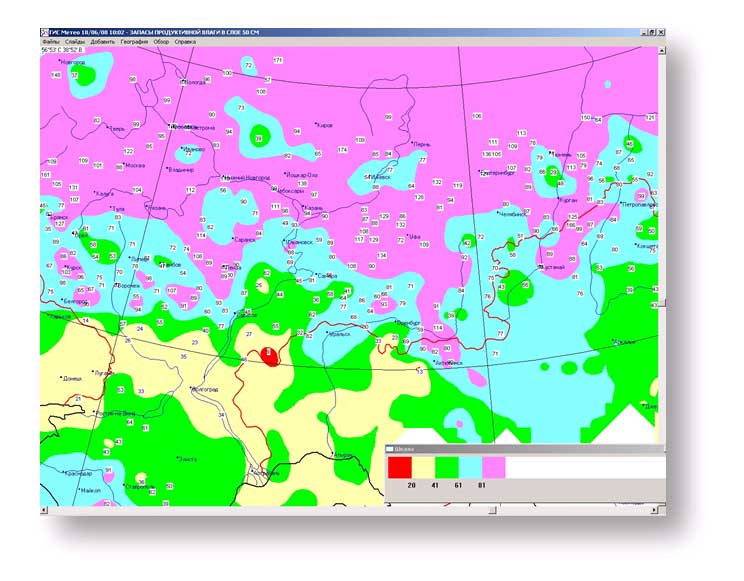
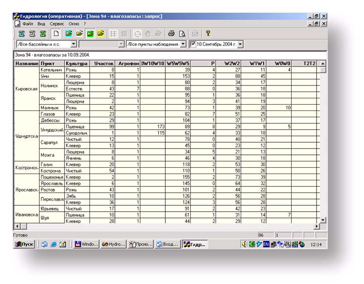
- Forecasts of the soil moisture reserves in the different layers under crops
- Monitoring and phenology of crops and forecasting of frost events, and of early spring and autumn frosts
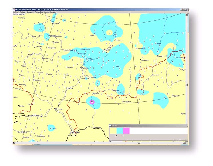
- Maintenance of daily and ten-day tables.
Forecasts FOR SELECTED AGRICULTURAL AREAS
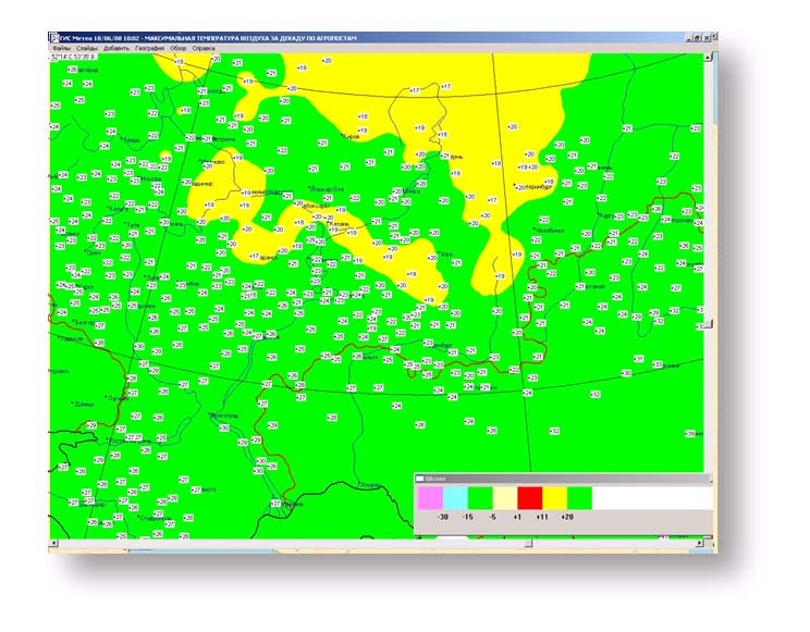
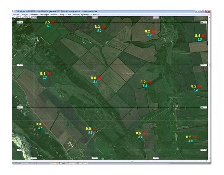
To monitor and forecast frosts at the beginning of the vegetation period an automated workstation of an agro-meteorologist uses COSMO mesoscale model with a step of 2 km across and half-degree temperature increments.
Areas of a critical isotherm for the culture are visible on the map. For example, critical temperature for the fruiting cucumbers in outdoors is about + 9 ° C.
For all herbaceous plants the critical temperatures are about -4 ° C. In this case sheet cells are destroyed.
Features
Some product featuresINTERACTION WITH an automated workstation of a forecaster-analyst
As an agro-meteorologist needs maps and charts of surface analysis, maps of air temperature and precipitation, extremes of temperature, the temperature at the soil surface of a different time length, please install a GIS Meteo software.